KappaMapping Company United States Poster Size Wall Map 40 x 28 with Cities (1 Map)
7,269 $

U.S. Map Poster (32 x 50 inches) - Laminated: - a QuickStudy Reference Poster – May 31, 2013
11,239 $

USA States and State Capitals Map - A3 (30cm x 42cm) Childrens Wall Chart Educational Kids Childs Poster Art Print WallChart
4,899 $

South America Wall Map Laminated GeoPolitical Edition by Swiftmaps A2 (42cm x 60cm)
11,289 $

Lonely Planet Central America Planning Map
7,289 $

Rand McNally United States Interstate Fold Map Map – Folded Map, March 1, 2024
19,659 $

U.S. Map-Laminated
13,959 $

Palace Learning Laminated USA Map - 18" x 29" - Wall Chart Map of The United States of America - Made in The USA - Updated (Laminated, 18" x 29")
19,389 $
Palace Learning Laminated USA Map - 18" x 29" - Wall Chart Map of The United States of America - Made in The USA - Updated (Laminated, 18" x 29")
9,639 $

South America Wall Map Laminated GeoPolitical Edition by Swiftmaps A2 (42cm x 60cm)
3,760 $

National Geographic: The Americas Classic Wall Map - Laminated (23.75 x 36.5 inches) (National Geographic Reference Map)
23,089 $

24x36 United States, USA Classic Elite Wall Map Mural Poster (Laminated)
19,189 $

Laminated World Map & US Map Poster Set - 18" x 29" - Wall Chart Maps of the World & United States - Made in the USA (LAMINATED)
10,939 $

Maps International Political USA Wall Map - Laminated - 17 x 22
6,463 $

GeoPlaneta USA Planning Map Paperback – Folded Map, 30 June 2017
7,209 $

United State Map Laminated Poster -Double Side Educational Poster For Kids/Adults -18 x 24 inch Waterproof Map For Home Classroom
10,879 $

Collins Route 66 Touring Map: Plan your adventure across America
4,718 $

Close Up XXL Poster USA Map Premium - Giant America Map with all States - Wall art - Size 55" x 39" MAPS IN MINUTES
28,699 $
Close Up XXL USA Map Premium Poster - Giant America Map with all States 55" x 39" MAPS IN MINUTES
5,627 $
Collins Route 66 Touring Map: Plan your adventure across America
16,139 $
Lonely Planet USA Planning Map
5,909 $

Lonely Planet South America Planning Map
1,796 $
Palace Learning Laminated USA Map - 18" x 29" - Wall Chart Map of the United States of America - Made in the USA - Updated (LAMINATED, 18" x 29")
13,339 $

USA Map
4,329 $

soying Children Wood World Map Flag Jigsaw Puzzles
8,869 $

Map of USA 50 States with Capitals Poster - Laminated, 17 x 22 inches - Colorful Complete Map of United States for Children - North America, US Wall Map - Classroom & Homeschool
12,799 $

CRAFTWAFT POLITICAL MAP OF SOUTH AMERICA FOR MAP POINTING PACK OF 100
7,249 $

USA Wall Map for Kids with Illustrations- United States Poster Map for Home or Classroom, (18” x 29” Laminated)
10,839 $
SMALL - 100 NORTH AMERICA POLITICAL OUTLINE MAP FOR SCHOOL|Exploring North America
364 $
![Giant USA Map - Mega Map of the United States of America - US Map Chart - Laminated - 46" x 60" [Blue]](https://m.media-amazon.com/images/W/MEDIAX_792452-T2/images/I/91AqF85f2WL.jpg)
Giant USA Map - Mega Map of the United States of America - US Map Chart - Laminated - 46" x 60" [Blue]
3,923 $

National Geographic Americas Wall Map - Classic (23.75 x 36.5 in) (National Geographic Reference Map)
17,359 $

48x78 Huge United States, USA Classic Elite Wall Map Laminated
43,859 $

North America Wall Map GeoPolitical Edition by Swiftmaps (18x22 Laminated)
14,359 $
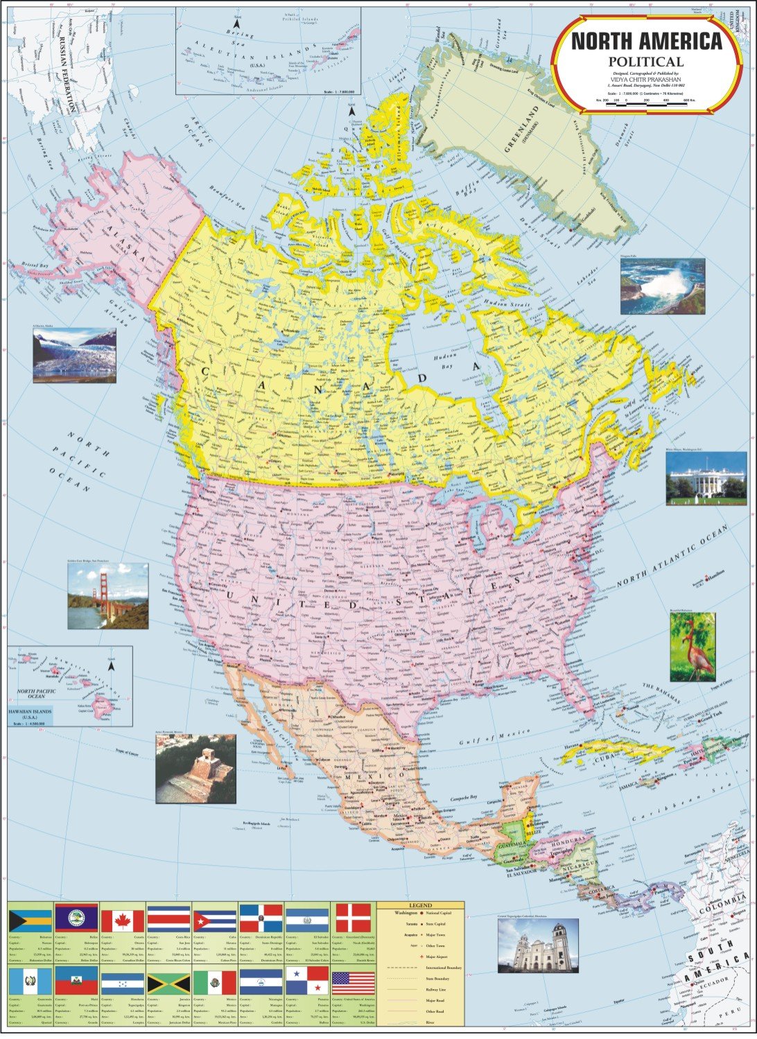
North America Map
3,139 $

Jumbo Floor Puzzle for Kids,USA Map Puzzle Jigsaw Geography Puzzles,70 Piece US Map Puzzle 50 States with Capitals,United States Puzzle for Ages 3-5,Preschool Learning Toys Gift for 4-8 Years Old
21,959 $

Teacher Created ResourcesColorful United States of America Map Chart
12,919 $

House of Doolittle Write On/Wipe Off Laminated United States Map 38 x 25 Inch (HOD721)
6,621 $

32x50 United States Classic Premier Blue Oceans 3D Wall Map Poster (32x50 Laminated)
21,219 $

DURABLE MAGNETIC Paper Map of UNITED STATES of AMERICA (USA) with Core Based Statistical Area (CBSA) classification, Road-Rail, Important Locations with Map-Legend, Size Size 18 X 11 inches ~ A3 SIZE LANDSCAPE
6,329 $
SMALL - 100 SOUTH AMERICA POLITICAL OUTLINE MAP FOR SCHOOL|South America political map for school
364 $

2 Pack - Laminated World Map Poster & USA Map Set - Equal Earth world map design shows continents at true relative size - US Map 18” x 29”
10,309 $

Detailed Scratch off USA Map with Scratcher - 24x16 Easy to Frame 63 National Parks Scratch Off Travel Poster of the United States of America - Large Scratchable US Map with Landmarks and States Flags
21,289 $

United States of America Map Learning Mat
9,159 $

The Learning Journey Lift & Learn Puzzle - USA Map Puzzle for Kids - Preschool Toys & Gifts for Boys & Girls Ages 3 and Up - United States Puzzle for Kids - Award Winning Toys
10,459 $
![2 Pack - World Map Poster & USA Map Chart [Tan/Color] (LAMINATED, 18” x 29”)](https://m.media-amazon.com/images/I/A1aLNThapcS.jpg)
2 Pack - World Map Poster & USA Map Chart [Tan/Color] (LAMINATED, 18” x 29”)
12,449 $
24x36 United States, USA US Classic Wall Map Poster Mural Laminated
17,149 $

24x36 United States, USA US Executive Wall Map Poster Mural (24x36 LAMINATED)
19,189 $

Map of United States of America (USA) | State, Roads & Towns | Size 2 ft. X 1 ft. | Printed on Media - 380 GSM Cotton Canvas Matte, with eyelets | Suitable for Home, Education & Small Business
1,416 $

Gifts DelightLaminated 24x28 Poster: Political Map - North America Political Wall Map
14,509 $
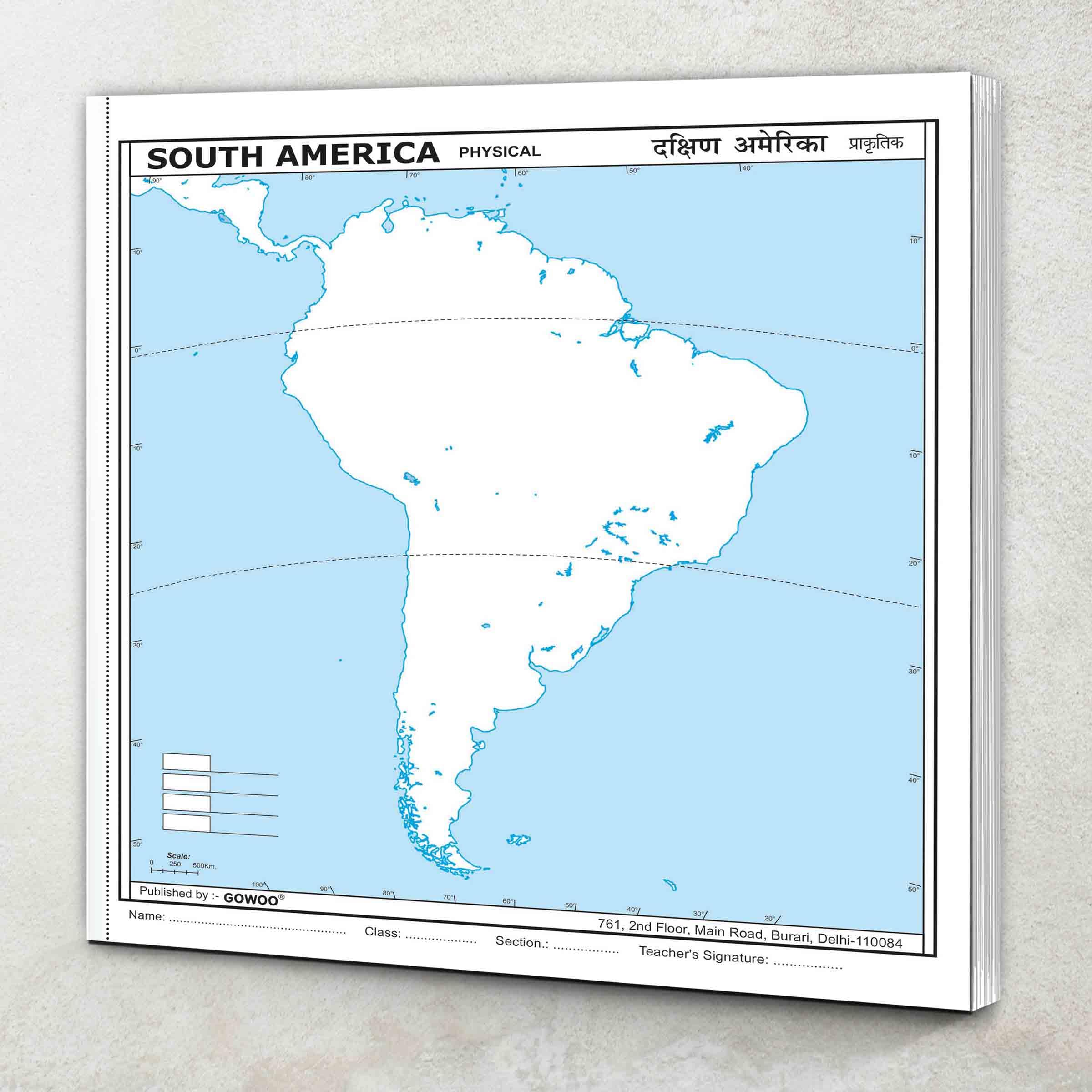
SMALL - 100 SOUTH AMERICA PHYSICAL OUTLINE MAP FOR SCHOOL|Physical outline map of South America
364 $

TOMOZ United State Map Tapestry, US Maps Tapestry for Kids Student, Educational Tapestry Wall Hanging for Classroom Bedroom Living Room Dorm Decor 60 x 51Inch
15,369 $

Central America Classic, Laminated: Wall Maps Countries & Regions
12,489 $
United States of America Map Learning Mat
2,418 $

Momo & Nashi United States & World Map Poster for Kids - 2 Pc - 24 x 16 Inch Waterproof USA & Map of the World Poster - for Wall Posters for Learning, Classroom, Education, Back to School Resources
15,049 $

Lonely Planet USA Planning Map
2,098 $

US and World Desk Map (13" x 18" Laminated) for Students, Home or Classroom Use by Lighthouse Geographics Office Product
10,969 $

DAYONG Scratch Off Word Map, Scratch Off Map with Scratcher and Brush, 82x60CM Scratch Off Travel Poster, Travel Map Wall Art Gift for Outdoor Enthusiasts
9,509 $

Maps InternationalClassic USA Wall Map - Map of The USA Poster - Front Lamination – 24 x 36
23,999 $

Lonely Planet The World Planning Map
7,749 $

Large Scratch Off Map Of United States 23x16 inch - Hand Drawn Travel USA Map with Accessories - Laminated United States Map - Deluxe Visited States US Map for Home Decor - Cool Traveler Gift Idea
15,829 $
South America Wall Map GeoPolitical Edition by Swiftmaps (18x22 Laminated)
15,719 $

National Geographic United States Wall Map - Classic (43.5 x 30.5 in) (National Geographic Reference Map)
5,234 $

History of North America Map by Map (DK History Map by Map)
13,066 $

NOWMAP AquaShield Double-Sided United States, USA Map Waterproof Poster 24x36 - Folded Edition with (Pin Stickers)
17,889 $

RMC 32" x 50" Classic United States USA and World Wall Map Set (Classic Edition)
26,699 $

US Map Coloring Poster for Kids birthday Party 54 x 33 in America Map Backgrounds for Kids Disposable Color-in Paper Table Cover for Patriotism, Memorial Day, Independence Day Party
1,828 $

RMC Classic United States USA and World Wall Map Set (Signature Edition)
24,609 $
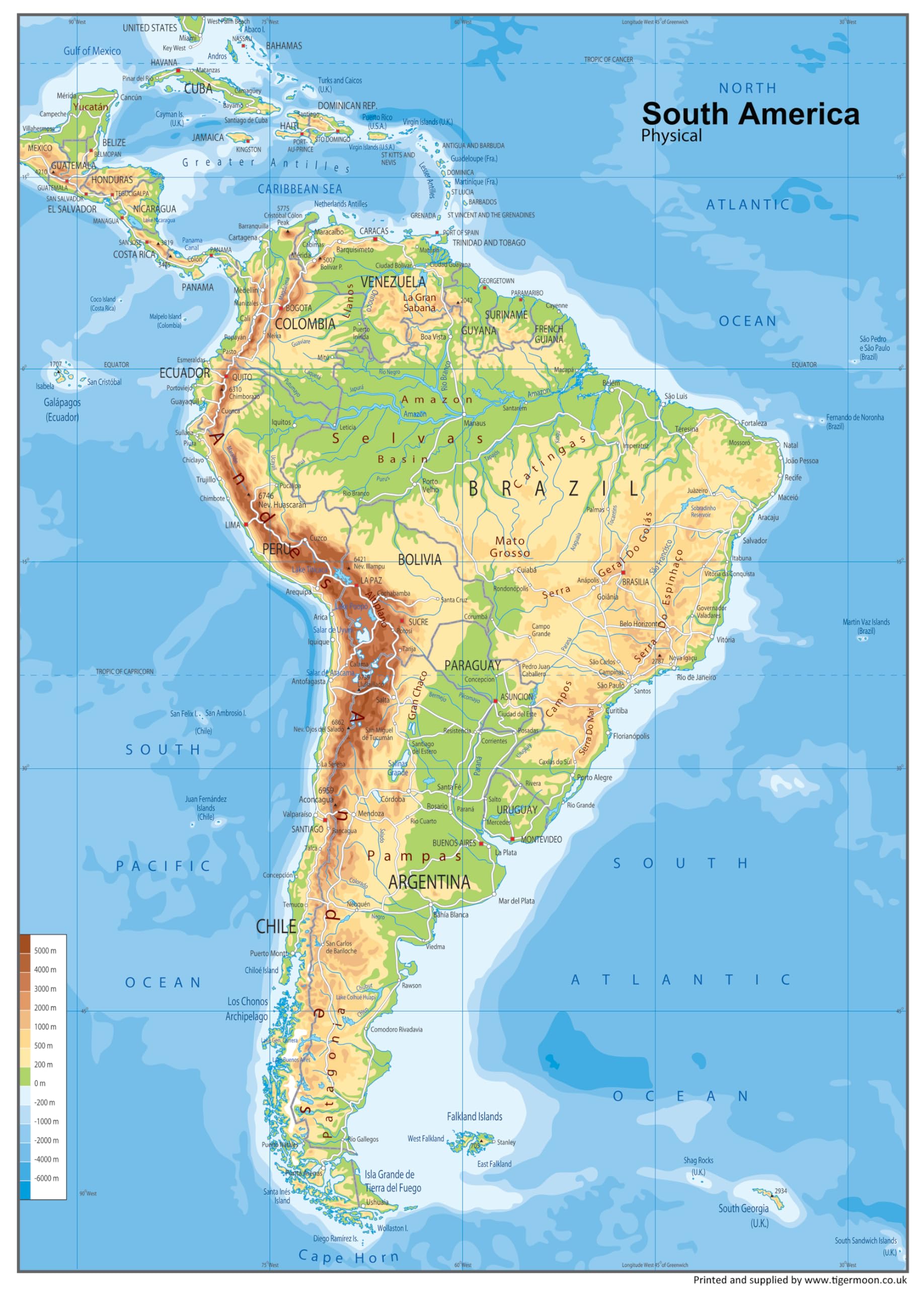
South America Physical Poster Map - 23.3 x 16.5 Inches - Paper Laminated
6,012 $

TRIPA TRIPS Scratch off Map of United States & All 63 USA National Parks Poster - Easy-to-Scratch 50 Landmarks & Flags - 24x17 Large Scratch off US Map + Travel Map Kit - Deluxe Gift for Travelers
19,239 $

Imagimake Mapology USA Map with Capitals | Learning States and Capitals | US Geography Toys for Ages 5-7 | Jigsaw Puzzles for Kids Ages 8-10 Years | Educational Toys for Ages 8-13
17,789 $

Scratch Off Map Of United States, USA State Scratch Sticker, Travel Map Gift Adventure Wall Poster For Kids Adults (States)
4,461 $

National Geographic North America Map (folded with flags and facts) (National Geographic Reference Map)
3,913 $

America's New Map: Restoring Our Global Leadership in an Era of Climate Change and Demographic Collapse
8,446 $

Tot Talk South America Map Kids Placemat Educational Placemat Reusable Washable Double-Sided Learning Made in USA
2,616 $

Maps International Large Political USA Wall Map - Laminated - 36 x 48
8,268 $

Michelin North America Road Atlas 2025: USA - Canada - Mexico
6,838 $

North American Maps for Curious Minds: 100 New Ways to See the Continent
24,379 $
Tofficu 2pcs United States Map Hanging Usa Map Poster Educational Poster Maps for Learning America Wall Map Large America Map of Countries Map America Map America Maps for Wall UV Paper
17,039 $

Central America Classic, Tubed: Wall Maps Countries & Regions
8,209 $

Central America and the Caribbean Poster Map - 24 x 17 inches - Paper Laminated
27,299 $

History of North America Map by Map
12,303 $
![National Geographic Road Atlas 2025: Adventure Edition [United States, Canada, Mexico]](https://m.media-amazon.com/images/I/61JYN+sVvXL.jpg)
National Geographic Road Atlas 2025: Adventure Edition [United States, Canada, Mexico]
20,859 $
Swiftmaps South America Wall Map GeoPolitical Edition by SM SA SM L
7,400 $

Ceaco - USA Map - 100 Piece Jigsaw Puzzle
8,569 $

School Zone - Travel the Great States Workbook - 64 Pages, Ages 8 and Up, Geography, Maps, United States, and More (School Zone Activity Zone® Workbook Series)
4,959 $

WDYJMALL United States of America USA Map Shape Cookie Cutter
3,198 $

Palace Learning Laminated Blank World Map Outline Poster - 18" x 29" - (For Use With Wet Erase Markers Only)
11,719 $

KASTWAVE Tapestry World Wall Map Mural, Decoration Vintage World Map Hanging Poster for Kids Student, Art Educational Background Wallpaper Wall Hanging for Living Room Home Office (39.3 x 59'' M)
10,689 $

Hambli World Map Poster 33 x 23” Large World Map for Wall – World Travel Map Poster - Giant Wall Maps of World for Classroom or Geography Gift Home – Wall Map, 1 January 2024
17,609 $
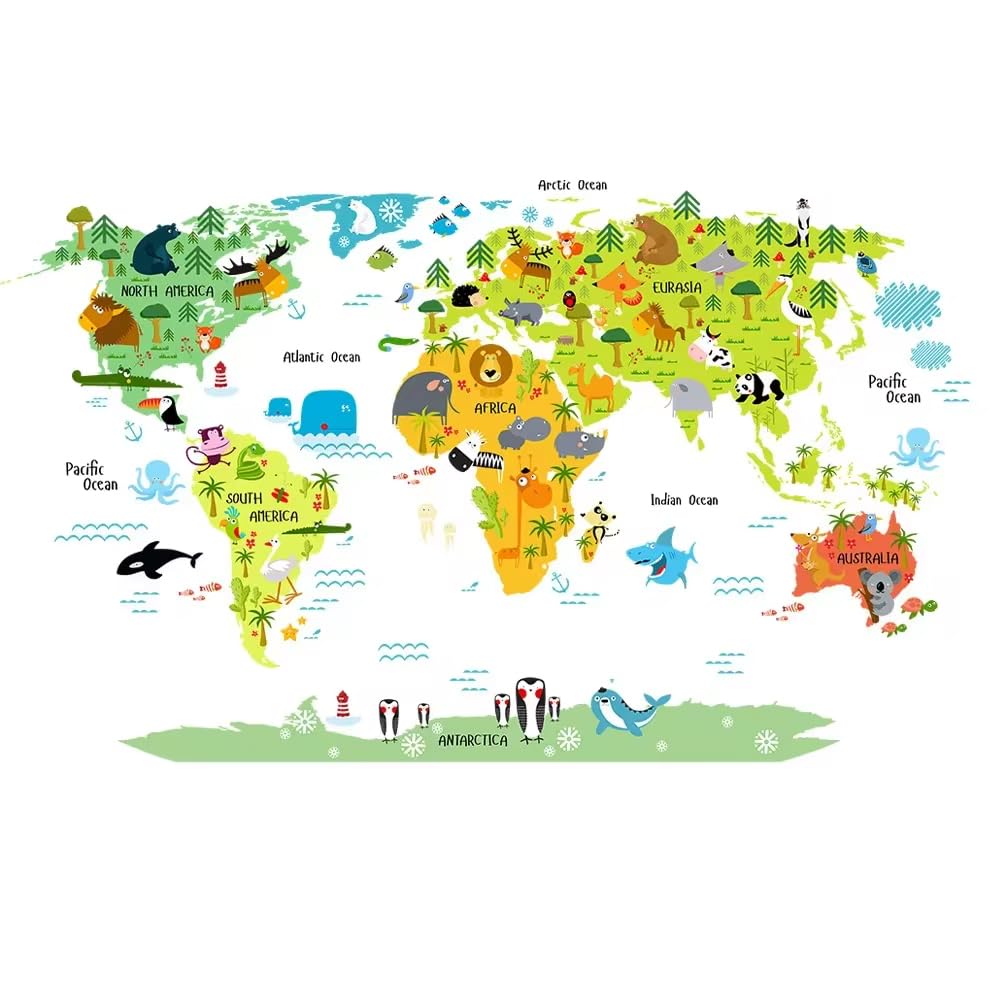
AMERTEER Wall Decals, Removable World Map Wall Stickers, PVC Cartoon Wall Mural for Kids Nursery Playroom Bedroom Classroom Kindergarten Wall Decor (World Map)
1,928 $

World Map Tapestry, Map of World Kids Student Blue Tapestry Wall Hanging for Bedroom, Vintage Asia Europe South City Topography America Africa Japan Tapestries Poster Blanket Dorm Living Room, 60X40in
3,970 $

South America Classic, Laminated: Wall Maps Continents
6,077 $

United States, California And Nevada Adventure Map
14,049 $
USA Wall Map for Kids with Illustrations- United States Poster Map for Home or Classroom, (18” x 29” Laminated)
11,559 $

Luckies of London Scratch off Map World Poster, Detailed Map of the World with capitals, states, cities, Scratch Map Deluxe Edition
19,929 $

Spanish Language Country Maps for The Classroom - Spain, Mexico, Central America/Caribbean, South America - Set of 4, 12 x 18 Inches
8,456 $

Landmass Scratch Off Map Of The World - Black Scratch Off World Map Poster with Flags - World Map Scratch Off - Vibrant Colors - The Gift Travelers Want - 17 x 24 Inches Travel Tracker Map
27,869 $

Painless Learning South America Map Placemat
5,336 $
Get the App